
Gaia: Track Miles: 5.9mi Duration: 2:00 Rating: 9/10
Earlier in the week, there were reports of mosquitoes carrying EEE in the northern part of Rhode Island. Although the chances of getting bitten, especially by one carrying EEE, are low, we decided to hike a trail further south. We chose to explore parts of the yellow trail, renamed in 1991 in honor of John “Vin” Gormley, and parts of the blue trail, also known as the North-South trail. The North-South trail is 77 miles long and cuts across the State of Rhode Island, starting in Charlestown and ending in Burrillville. From end to end, the trail can take upwards of 26 hours to hike and includes easy trails and at times moderate trails.
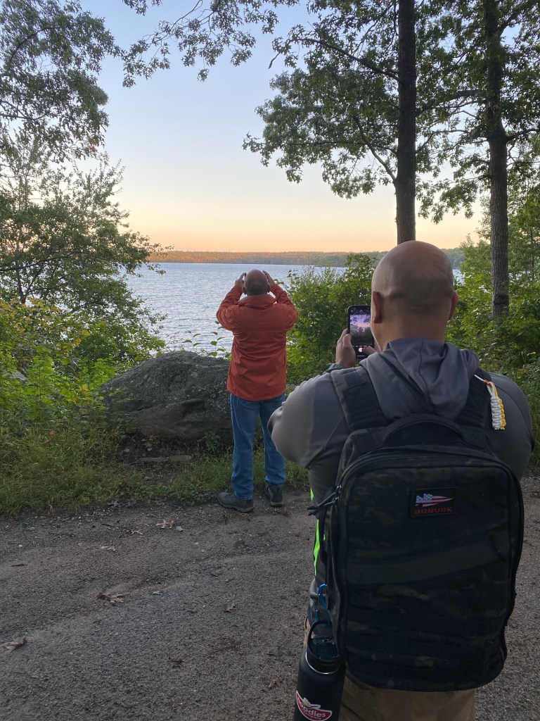
Although we have had some rainy weather over the past couple of weeks, we were fortunate it was a clear day, low-mid 50s, with almost no wind. It was a perfect day for a 5.9-mile hike. And if we had more time we would have gone further. The trail we selected took us from the YMCA parking lot, through the Burlingame State Park campground, to the North-South Trail, and back to the YMCA parking lot. Although we didn’t encounter any wildlife, as we passed through the Burlingame State Park campground, it was nice to see how many people are still camping in tents and trailers this time of year. We could also smell smoke from the fire pits, which were hopefully lit for a morning campfire as opposed to smoldering from the night before.
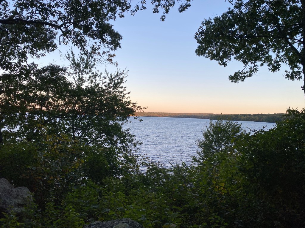
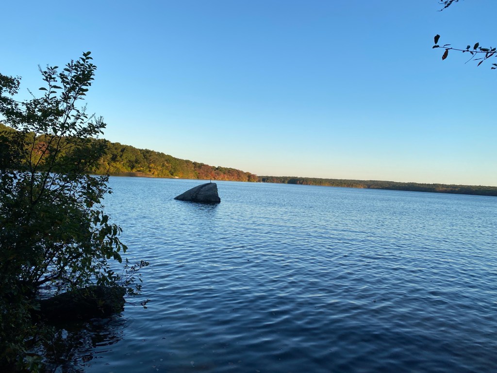
As we hiked through the woods, we passed by areas where we had views of Watchaug Pond. From across the pond, we could already start seeing the leaves on the trees changing colors for the autumn. This was a sure sign that summer is ending and we are about to start entering some cooler months. The group agreed that it would be good to come back in a few weeks for leaf peeping when the colors should be at their peak.
This was another great hike, and the group plans to return again soon to explore new trails.

Leave a comment